
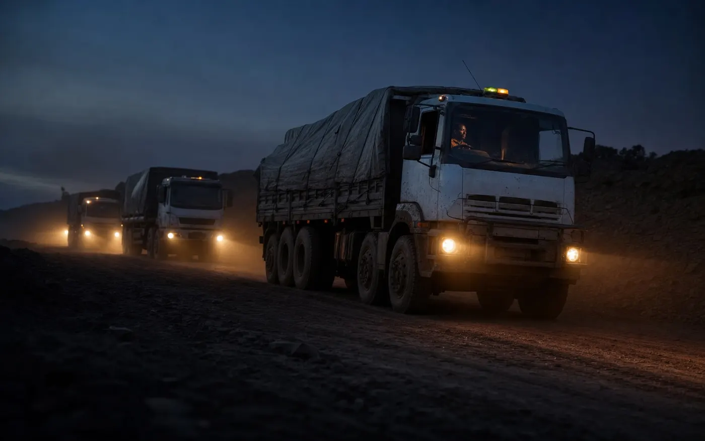
Heavy truck fleet tracking in DRC means a hidden GPS tracker in each truck, a fuel-level sensor where diesel is the main risk, and a platform that turns positions into trip reports, stop lists and alerts. With GT AFRIK, positions update every 30 seconds over the 2G network, geofence, ignition and fuel alerts go to WhatsApp, and the tracker keeps recording when the network drops on the corridor. Tracking starts from US$25 per month and trucks are typically live within 24 hours, installed by GT AFRIK’s own technicians.
Why truck fleets in DRC need GPS tracking
A truck is the most expensive vehicle in most fleets, and the hardest to follow by phone. Three problems come up again and again for transporters:
- Long trips with long stops. Trucks leave Kinshasa on the N1 towards Matadi and Kongo Central, or run between Kolwezi, Likasi, Lubumbashi and the Kasumbalesa border, often for days. The office needs to know where each truck is and why it stopped.
- Diesel. Large tanks are a constant target. Operators describe fuel sold during long stops and later explained as heavy consumption on bad roads.
- Driving. Speed, harsh braking and long idling wear out trucks and raise the risk of accidents with a heavy load.
What a truck GPS tracking system should report
On GT AFRIK’s GPS fleet tracking and fleet management platform, the features transport managers use most are:
- Live position of every truck, updated every 30 seconds while the network is available.
- Route history and playback with distance, stops, stop duration and speed, exportable as a report for each truck.
- Geofences around depots, loading sites, weighbridges, parking areas and border yards: every entry and exit sends a WhatsApp alert.
- Ignition and extended-stop alerts, so a truck that starts at night or stays too long in one place is noticed the same day.
- Driver scoring from speeding, harsh braking and idling: a weekly score per driver.
Following trucks on the Matadi and Katanga corridors
On the Kinshasa–Matadi road and on the Copperbelt corridor, set up geofences at each place where a truck should stop: depot, loading point, weighbridge, customs or border yard, and the client’s site. The trip report then shows, for each truck, how long it waited at each point and where it stopped outside them. Copper and cobalt leave Kolwezi by road, about 300 km to Lubumbashi and on to Kasumbalesa; see GPS tracking in Kolwezi and GPS tracking in Lubumbashi for the Katanga side, and GPS tracking in Kinshasa for trucks based in the capital.
Between towns the mobile network often drops, but the tracker keeps calculating its position from satellites. A Teltonika tracker that loses the network saves its records in internal memory and sends them, with their original times, when the connection returns [1]. The map shows the last position received until then, so always read the time of the last update before calling a driver. The guide to how a GPS tracker works explains this in detail.
Diesel theft on trucks: what the fuel sensor shows
A tracker alone shows where a truck went, not what happened in its tank. A fuel-level sensor (Escort TD-BLE or Omnicomm LLS 6 AI) adds the tank level to every record, so the platform shows each refuel and each sudden drop with its place and time. In plain words, a drop while the truck is stopped with the ignition off is the typical sign of a drain or siphon, because a stopped engine burns no fuel. Refuels can also be checked against the receipts the driver brings back. See fuel monitoring for trucks and tanks and the diesel theft detection guide for the warning signs and how to respond.
Drivers, speed and idling
For heavy trucks, driver scoring is mainly a safety and maintenance tool. Set a speed limit suited to loaded trucks rather than to cars, review each driver’s weekly score with them, and look at idling time: a truck idling for hours at a border yard or a parking area burns diesel and engine hours for nothing. As a general rule, scores work best when drivers know the rules in advance and see their own results.
Security options: engine cut-off, dashcams and tamper alerts
- Remote engine cut-off (immobiliser): an authorised manager can block the engine from the platform, and the truck’s position keeps showing on the map.
- Dashcams installed alongside the tracker, so an incident on the road can be reviewed.
- Tamper alerts: trackers can report when they are disconnected from power or when a vehicle is moved with the ignition off, for example towed [2].
For demanding installations Teltonika makes terminals such as the FMC650, with a high-capacity backup battery and external antennas [3]; the full list is on the supported devices page [4].
Setup checklist for a transport company
- List the trucks, their base and the routes they run.
- Decide which trucks need a fuel sensor (long routes, large tanks).
- Draw the geofences: depots, loading sites, weighbridges, border yards, client sites.
- Choose who receives which WhatsApp alert (dispatch, fleet manager, security).
- After the first long trip, check that the records stored without network arrived.
- Review fuel drops, stops and driver scores every week.
Comparing suppliers? The fleet tracking buyer’s checklist lists the questions to ask, and the GPS tracker price guide explains what a quote includes.
What tracking will not do
- It does not say who was driving unless driver identification is added.
- It does not see inside the tank without a fuel sensor.
- It does not replace delivery documents, weighbridge tickets or your own procedures at the border.