
A GPS tracker calculates its position from satellite signals (GPS, GLONASS and Galileo), which needs no mobile network. It then sends each record (time, speed, ignition state) to a server over the mobile network; GT AFRIK’s standard tracking uses 2G GSM/GPRS. When there is no network, a Teltonika tracker keeps saving records in its internal memory and sends them once the connection returns, so the route arrives late instead of being lost, as long as the memory does not fill up.
The three parts of a tracking system
- The tracker. A small unit hidden in the vehicle and wired to its power, with a satellite receiver, a mobile modem and SIM card, a motion sensor (accelerometer) and a backup battery. GT AFRIK’s usual vehicle tracker is the Teltonika FMB920 [9].
- The mobile network. It carries the data to the internet, but plays no part in calculating the position.
- The platform. Servers store the records and turn them into a map, reports and alerts. With GT AFRIK, you follow the fleet on the web dashboard, in GT Fleets, the free Android app, and through WhatsApp alerts.
Step 1: the tracker works out its position
Navigation satellites broadcast their position and a very precise time. The tracker’s receiver notes when each signal arrives, works out its distance from each satellite and, with at least four satellites, calculates where it is in three dimensions [1]. This is trilateration: distances, not angles. The satellites do not know where the vehicle is; the tracker only listens.
GPS, GLONASS and Galileo together put more satellites in view, but accuracy still depends on how much sky the antenna can see. According to GPS.gov, GPS-enabled smartphones are typically accurate to within 4.9 m under open sky, and less accurate near buildings, bridges and trees [2]. A vehicle tracker faces the same limits, which is why geofences need a margin.
Step 2: it records more than a position
Each record holds the time, coordinates, speed and heading, plus the state of the vehicle: ignition on or off, supply voltage and any wired inputs. Teltonika trackers take a record after a set time, a set distance, or a change of heading or speed, with separate settings for a moving and a stopped vehicle [3].
Ignition state can come from a wire on the ignition, from the supply voltage, which rises when the engine runs, or from the accelerometer [4]. GT AFRIK’s standard GPS fleet tracking sends a position every 30 seconds.
Step 3: it sends the data over the mobile network
The tracker’s SIM card connects to a mobile network, and the modem sends records to the server in small data packets, which 2G carries easily. GT AFRIK’s standard tracking runs on 2G GSM/GPRS, and the FMB920 is a 2G tracker.
4G is not automatically better. Teltonika’s 4G versions, such as the FMC920 (LTE Cat 1) and FMM920 (LTE Cat M1) [9], only help where your operator’s LTE network covers your routes. Coverage maps, including the GSMA’s, are planning tools [5]; test each route with your chosen operator.
What happens when there is no network
Between towns, on mining sites and on long routes, the satellite part keeps working: the position comes from the sky, not from the mobile mast. Only the sending stops.
A Teltonika tracker that loses GSM or GPRS keeps saving records in its internal memory and sends them once the network is back [6]. It can be set to send the oldest or the newest records first, and events configured as high priority are sent first [6]. For the person watching the map:
- During the gap, the map can only show the last position received. Check its time: it is the last known position, not the current one. The fleet tracking operations guide explains how to treat it.
- Back in coverage, the tracker sends the stored records with their original times, so the gap in the route can be filled in afterwards.
- Alerts worked out on the server, such as a WhatsApp message when a vehicle leaves a geofence, cannot be sent before the data arrives.
The memory is finite: for vehicles that spend days out of coverage, ask for the capacity of the exact model and check, after the first long trip, that everything arrived.
Wiring, backup battery and tamper alerts
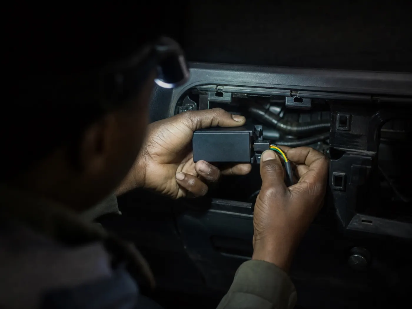
A tracker such as the FMB920 is wired to permanent power, ground and the ignition, then hidden behind the dashboard or trim. GT AFRIK’s own technicians install each tracker hidden, hard-wired and tamper-alerted. Teltonika trackers record the usual attempts to silence them:
- Power cut. An event is generated when the tracker is disconnected from the vehicle’s power or reconnected [7]; thanks to its 170 mAh backup battery [10], the FMB920 can still record the disconnection.
- Towing. If the vehicle is lifted or towed while the ignition is off, the accelerometer can trigger a towing event [7].
- Jamming. The tracker can detect when its mobile or satellite signal is being jammed and record an event [8].
A power-cut or jamming event followed by silence needs action straight away. The fleet manager’s daily checklist starts with these checks each morning.
From records to alerts and reports
The platform compares each record with the rules you set. Entering or leaving a geofence around a depot or client site, speeding, the ignition switching on or off, or an extended stop becomes an event, sent to WhatsApp. The same records build route playback, reports and driver scores.
Other equipment reports through Teltonika trackers too: an Escort TD-BLE fuel sensor pairs with the FMB920 over Bluetooth Low Energy (see fuel monitoring), and a Teltonika FMB125 reads DSE, ComAp and DATAKOM generator controllers over Modbus RTU (see generator monitoring).
What a GPS tracker cannot do
- See inside the fuel tank. Detecting siphoning needs a fuel-level sensor; the diesel theft guide explains why.
- Say who was driving, unless driver identification is added; the FMB125, for example, supports RFID [9].
- Guarantee that a stolen vehicle is recovered. It shows where the vehicle is and when it moved.
Terms you will see on the platform
| Term | French | Meaning |
|---|---|---|
| Record | Enregistrement | One saved line of data: time, position, speed, ignition and inputs. |
| Geofence | Géozone | A zone on the map; entering or leaving it creates an event. |
| Jamming | Brouillage | A radio signal that blocks satellite or mobile reception. |